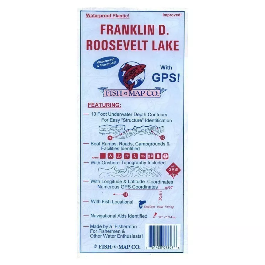
These fishing maps include underwater topography, fish locations, longitude & latitude grids and many more features useful to fishermen, boaters and campers for Franklin D. Roosevelt Lake.
- 10 foot underwater depth contours
- Fish Species: Rainbow trout, kokanee, smallmouth bass, whitefish, yellow perch, walleye
- Numerous suggested fishing locations shown throughout map
- Fishing Strategy
- Latitude and longitude grids with over 80 GPS coordinates identified
- GPS Quick Scaler
- Underwater structures identified including underwater river channels, railroad tracks, shoals, point bars, humps
- Underwater bottom conditions identified: Sand, rocky, mud
- Boat ramps, roads, facilities shown
- Waterproof and Tear-resistant plastic, folds to 9”x4”, unfolds to 3’ x 2’, 2-sided map
- Made in the U.S.A.