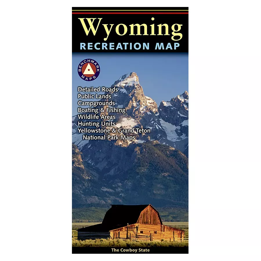
The Wyoming Recreation Map is a folded map version of the Recreation Guide pages within Benchmark’s Wyoming Road & Recreation Atlas. One side provides a full state map that features Public & Tribal Lands, extensive highway detail, point-to-point mileages, recreation attractions, campgrounds, parks and wildlife areas, fishing access points and hunting units (GMU). The reverse side features enlarged maps of Central Yellowstone and Grand Teton/Jackson and includes statewide categorized POI listings with helpful descriptions, current contact information and map grid references.
- Folded Size: 4″ x 9″
- Flat Size: 34″ x 27″
- Scale: 1:750,000
- Page Count: 2
- Case Quantity: 200